 When you press terrain or victory hexes button and then move the mouse pointer over the map object (city, river, ...), its name, coordinates, optionally flag are displayed as a label |
To the Rhine
26.12.1944 - 6.2.1945
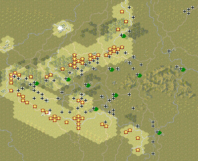
Scenario Map:
|
|
|
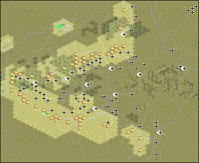
Original scenario map:
|
|
|
Scenario data:
| Version: AGPG, Starting side: Allies |
| Airfield Amberloup Auw Bastogne Beauraing Bitburg Bullingen Celles Clervaux Consthum Dasburg Dinant Dochamps Eberhardt Feld Echternach Eisenborn Givet Grandmenil Hosingen Hotton Houffalize Kyll River Laroche Libramont Liege Losheim Malmedy Manderfeld Marche Meuse River Monschau Moselle River Namur Normann-Ross Feld Noville Our River Ouren Ourthe River Outherville Prum Roer River Rochefort Saar River Sambre River Sauer River Semots River St. Hubert St. Vith Stadkyll Stavelot Trier Vielsam Werbomont Wiltz |
| Airfield Amberloup Auw (correctly Auw bei Prüm) Bastogne Beauraing Bitburg Bullingen (correctly Büllingen) Celles Clervaux Consthum Dasburg Dinant Dochamps Eberhardt Feld Echternach Eisenborn Givet Grandmenil Hosingen Hotton Houffalize Laroche (correctly La Roche-en-Ardenne) Libramont Liege (correctly Liège) Losheim Malmedy Manderfeld Marche (correctly Marche-en-Famenne) Monschau Namur Normann-Ross Feld Noville Ouren Outherville (correctly Ortheuville) Prum (correctly Prüm) Rochefort St. Hubert (correctly Saint-Hubert) St. Vith Stadkyll (correctly Stadtkyll) Stavelot Trier Vielsam (correctly Vielsalm) Werbomont Wiltz |