 When you press terrain or victory hexes button and then move the mouse pointer over the map object (city, river, ...), its name, coordinates, optionally flag are displayed as a label |
France
5.6.1940 - 30.6.1940
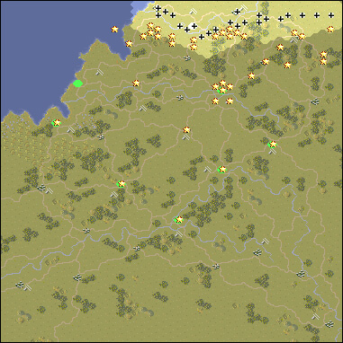
Scenario Map:
|
|
|
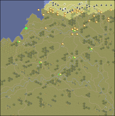
Original scenario map:
|
|
|
Scenario data:
| Version: PG, Starting side: Axis |
| Abbeville Airfield Amiens Angers Argentan Beauvais Bourges Caen Dieppe Ham Chalons Chartres Chateauroux Cholet Laval Le Havre Le Mans Loire River Mantes Montargis Nantes Nevers Orleans Paris Reims Rouen Saumur Seine River Somme River Thierry Tours Troyes Vienne River Vichy |
| Abbeville Airfield Amiens Angers Argentan Beauvais Bourges Caen Dieppe Ham Chalons (correctly Châlons-sur-Marne ) Chartres Chateauroux (correctly Châteauroux) Cholet Laval Le Havre Le Mans Loire (correctly Loire River) Mantes (correctly Mantes-la-Jolie) Montargis Nantes Nevers Orleans (correctly Orléans) Paris Reims Rouen Saumur Seine (correctly Seine River) Somme (correctly Somme River) Thierry (correctly Château-Thierry) Tours Troyes Vienne (correctly Vienne River) Vichy |